What we'll do
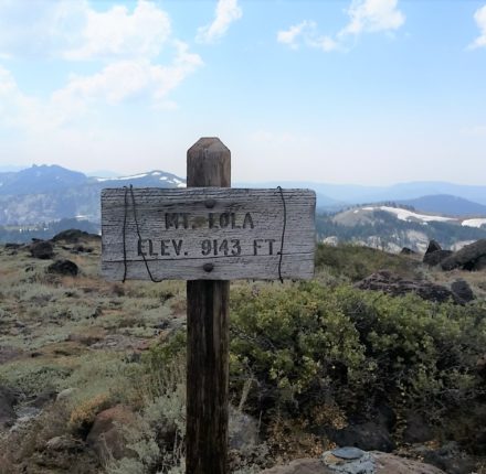
Come join the Truckee Donner Land Trust on a strenuous 11.6 mile round trip hike to the top of Mt Lola. Meet at the Mt Lola Trailhead at 9am and enjoy this rugged walk through mature red fir forests while ascending to the summit of the mountain where you can take in the spectacular 360 degree views of the Sierra Crest, Sierra Buttes, and beyond. Cold Stream Meadow is a wildflower lover’s dream and is open to hikers, equestrians, and mountain bikers. There is a remarkable array of wildflowers throughout the half-mile long meadow located after a steady, nearly 3 mile climb through forest and along Cold Stream Creek Canyon, accompanied by birds and butterflies.
How strenuous is the hike?
This hike is strenuous 11.5 mile with 3000′ elevation change.
What should I bring?
Please wear closed toe shoes and bring bug spray, sunscreen, water, and snacks you’ll need for our outing. Depending on the weather, you may need sun protection (hat/glasses) or rain gear or cold weather gear.
Can I bring my dog?
No. Pets will not be allowed on any of the group hikes. We kindly ask that you please leave your pets at home. Your canine companion is welcome at every Land Trust property that is currently open to the public. Please visit tdlandtrust.org for recommendations.